


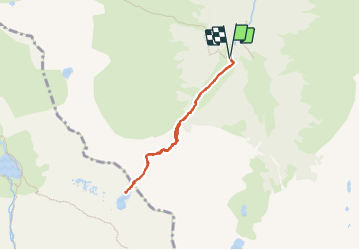


5,4 km | 8,8 km-effort


Usuario


Aplicación GPS de excursión GRATIS
 SityTrail
IGN / Institutos geográficos
SityTrail World
El mundo es suyo
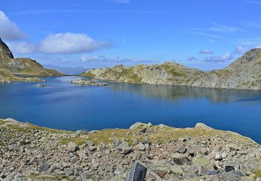
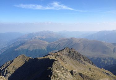
Ruta Senderismo de 6,3 km a descubrir en Cataluña, Lérida, Viella Mitg Arán. Esta ruta ha sido propuesta por DECHAMPD.

Senderismo

Senderismo
Senderismo
Senderismo
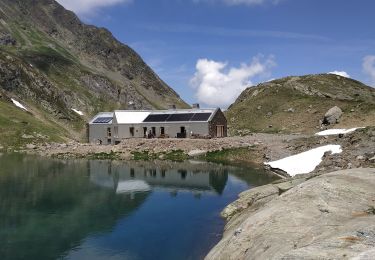
Senderismo
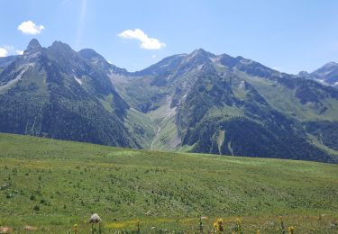
Senderismo
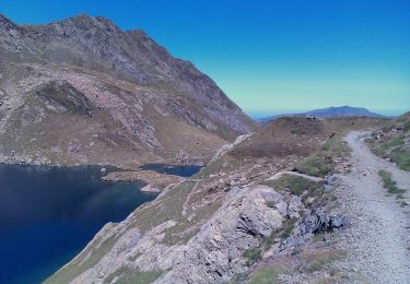
A pie
A pie
A pie